Which Procore tools let me view digital image attachments in a map view?
背景
Procore Web 应用程序中的许多工具都包含附件查看器,使用户能够上传与项或对象关联的文件附件。例如,项目团队可能会上传尾项清单项目的照片,或使用工作日志工具的事故日志记录发生的事件。
要了解有关附件查看器的更多信息,请参阅下面的答案。
解答
如果图像附件具有带全球定位系统( GPS )坐标的JPEG或PNG文件格式,则用户可以在 Procore Web 应用程序的支持工具上查看附件时点击在Google地图中查看。
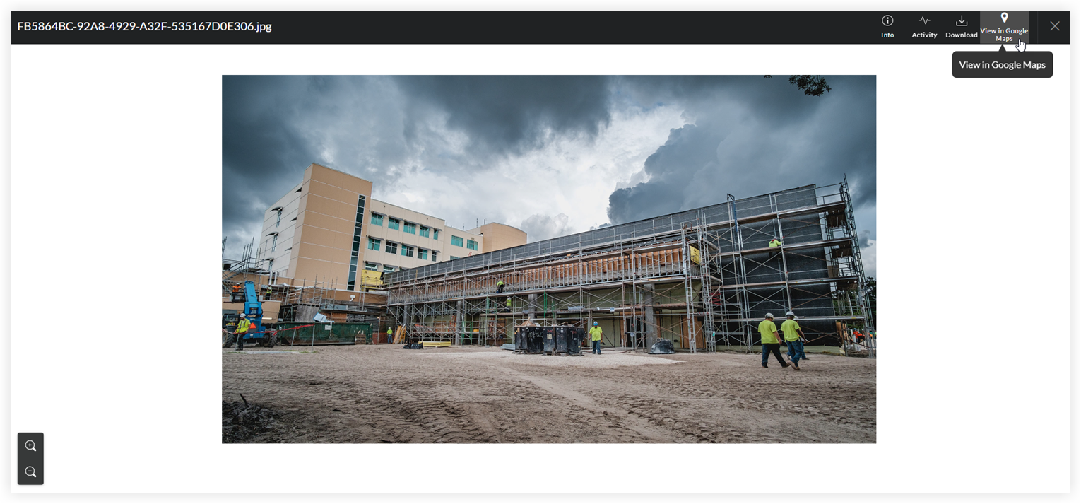
GPS坐标由第三方工具绘制。Procore 不对绘制工具的准确性或可靠性负责。
Note
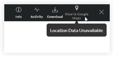
If the digital image does NOT contain GPS coordinates, the 'View Google Maps' button is grayed out and unavailable.
Most smartphone cameras have a built-in GPS function. When you take a photo, the camera automatically captures the GPS coordinates of the location where the image was taken. To learn how to adjust the GPS function on a camera, refer to the camera manufacturer's documentation.
支持的工具
上面详述的在Google地图中查看按钮可用于以下 Procore 工具:
工具名称 | 相关教程 | ||
|---|---|---|---|
协调问题 | |||
通信 | |||
自定义工具 | 不适用 | ||
工作日志 | |||
文档(公司级别) | |||
文档(项目级别) | |||
设备(旧版)(公司级别) | 设备(旧版)(项目级别) | ||
表单 | |||
事件 | |||
使用说明 | |||
检查任务(项目级别) | |||
会议 | |||
观察任务 | |||
尾项清单 | |||
信息请求 | |||
送审 | |||
任务 |